Trail places.
Forts, rocks, rivers and towns along the Oregon Trail, from east to west in the order emigrants reached them. Two forts on the lower Columbia River come last. They were off the wagon road but are part of its story. Each place has its own page with its history, what you can see there today and the people connected to it. You can also follow the whole route on the interactive trail map.
- places, from Independence to Fort Astoria
- 24
- present-day states
- 6
- forts, from Fort Kearny to Fort Astoria
- 8
- miles of wagon road, Independence to Oregon City
- 2,170
24 places
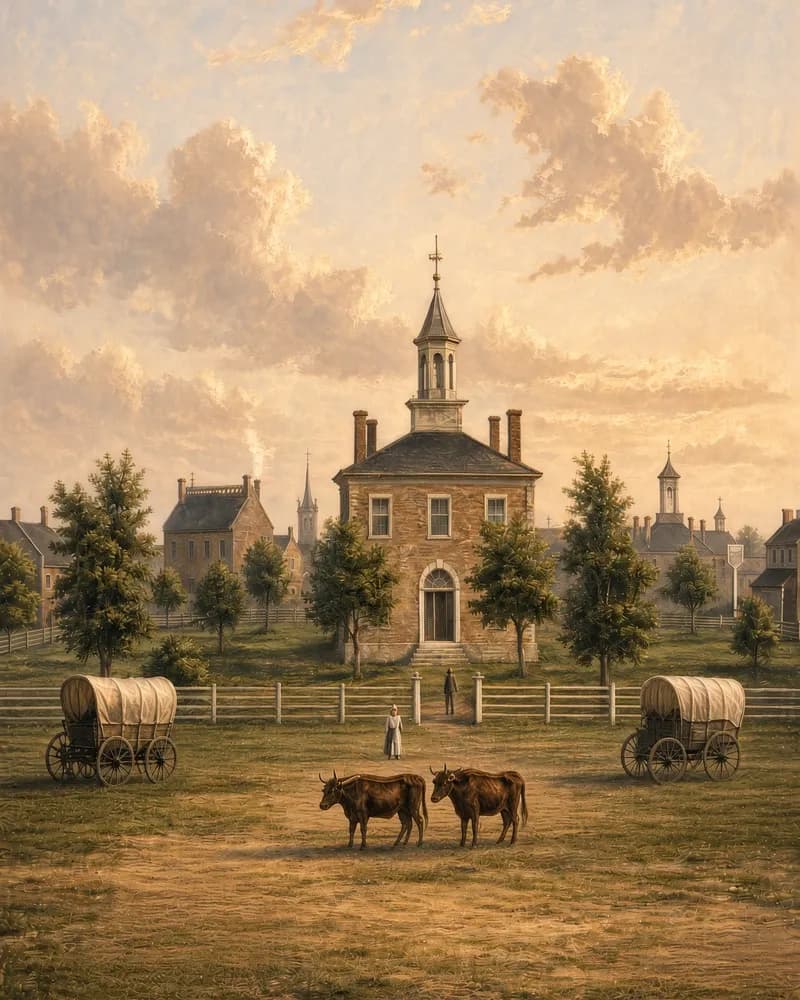 Mile 0 · MissouriRead full entryDeparture window: Apr-May
Independence, MO
The best-known starting point of the Oregon Trail, where emigrant families bought their wagons, oxen, food and tools before heading west each spring.
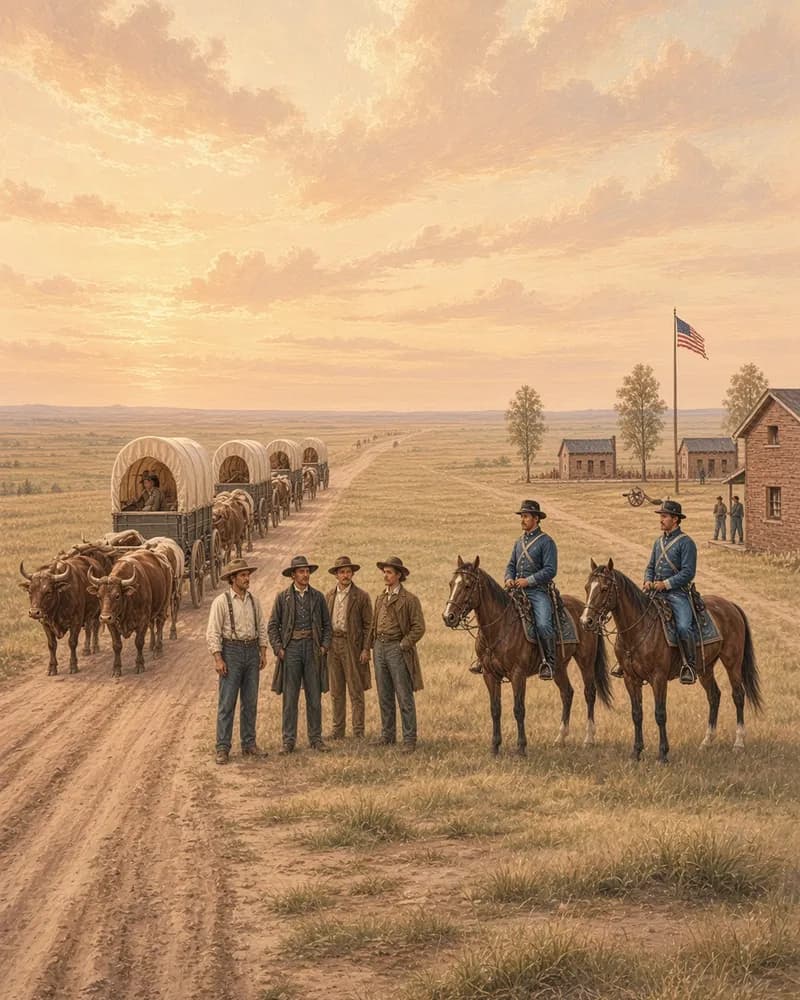 Mile 325 · NebraskaRead full entryEstablished: 1848
Fort Kearny
The first Army fort built to protect Oregon Trail travelers, where emigrants on the Platte River bought supplies, repaired wagons and mailed letters home.
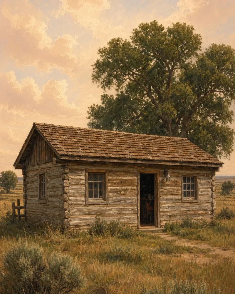 Mile 404 · NebraskaRead full entryPony Express: 1860-1861
Pony Express Station, Gothenburg
A log cabin said to be a Pony Express station, moved to Gothenburg, Nebraska, in 1931 from its first site beside the Oregon Trail on the Platte River.
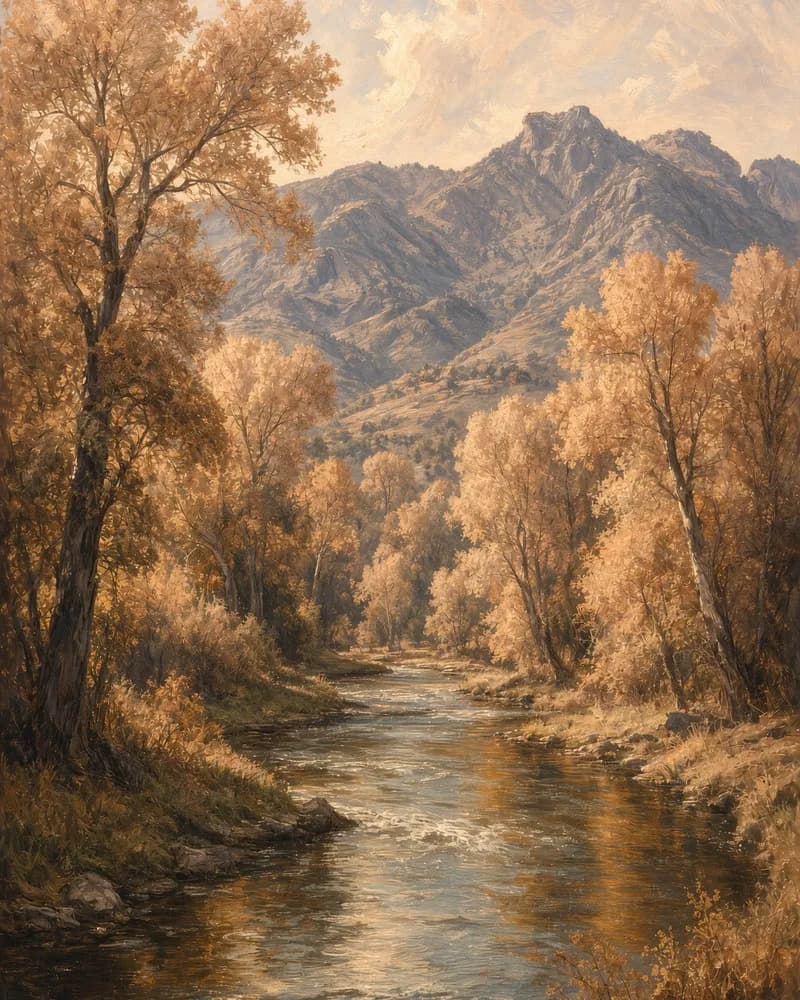 Mile 499 · Nebraska and WyomingRead full entryLength: 680-716 mi
North Platte River
The North Platte guided Oregon Trail wagons from Ash Hollow past Chimney Rock and Fort Laramie to present Casper, where its swift crossings drowned many.
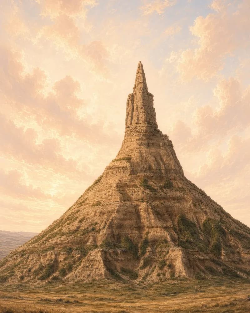 Mile 569 · NebraskaRead full entryHeight: ≈ 300 ft
Chimney Rock
The landmark Oregon Trail emigrants wrote about most. Visible for miles across the North Platte valley, the spire told travelers how far west they had come.
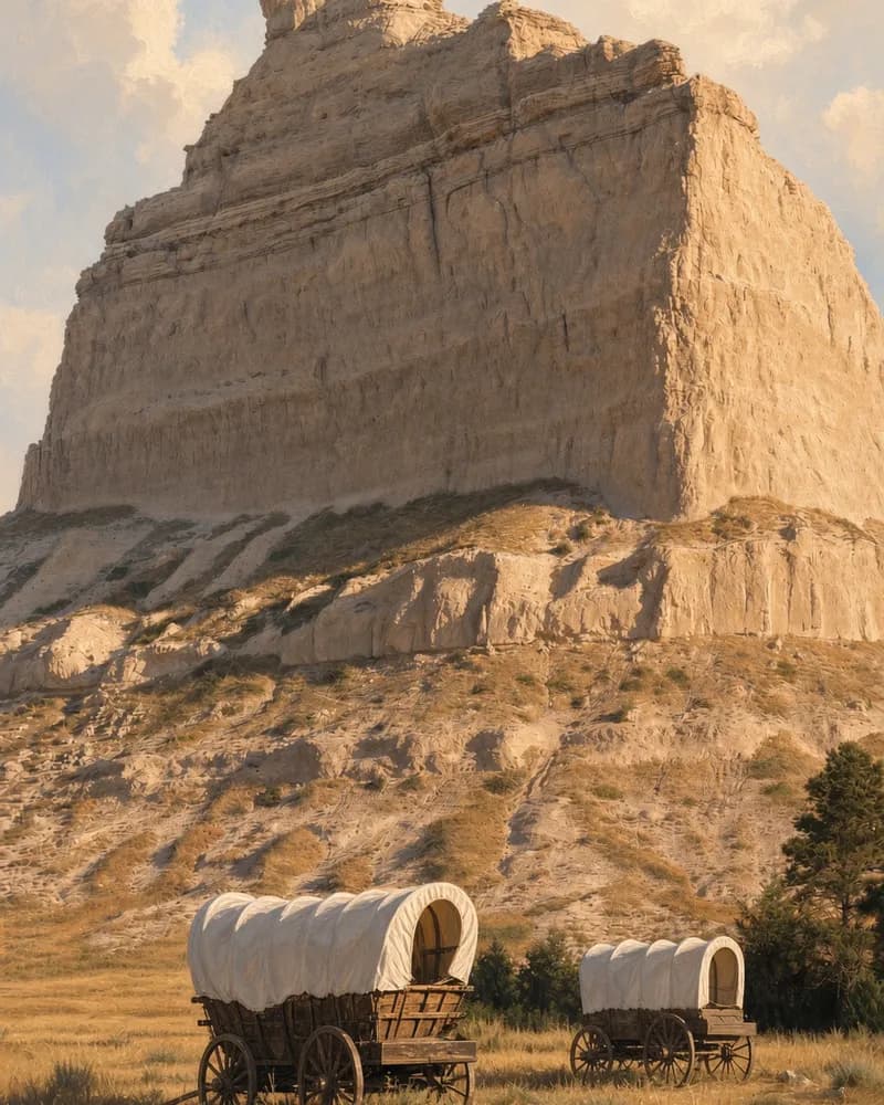 Mile 589 · NebraskaRead full entryHeight: 800 ft
Scotts Bluff
A towering Oregon Trail landmark on the North Platte. From 1851, wagons began using a shortcut through Mitchell Pass between the bluffs instead of going around.
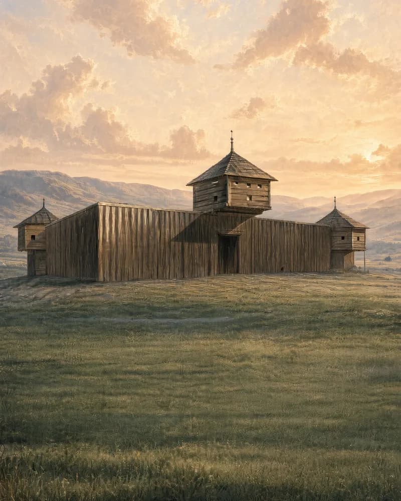 Mile 640 · WyomingRead full entryEstablished: 1834
Fort Laramie
One of the most important stops on the Oregon Trail. Emigrants rested here for days to mail letters, trade cattle, restock food and repair their wagons.
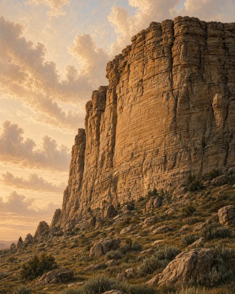 Mile 653 · WyomingRead full entryEarliest date: 1829
Register Cliff
The Oregon Trail's register in stone: a soft limestone cliff where emigrants, camped their first night past Fort Laramie, carved their names and the dates.
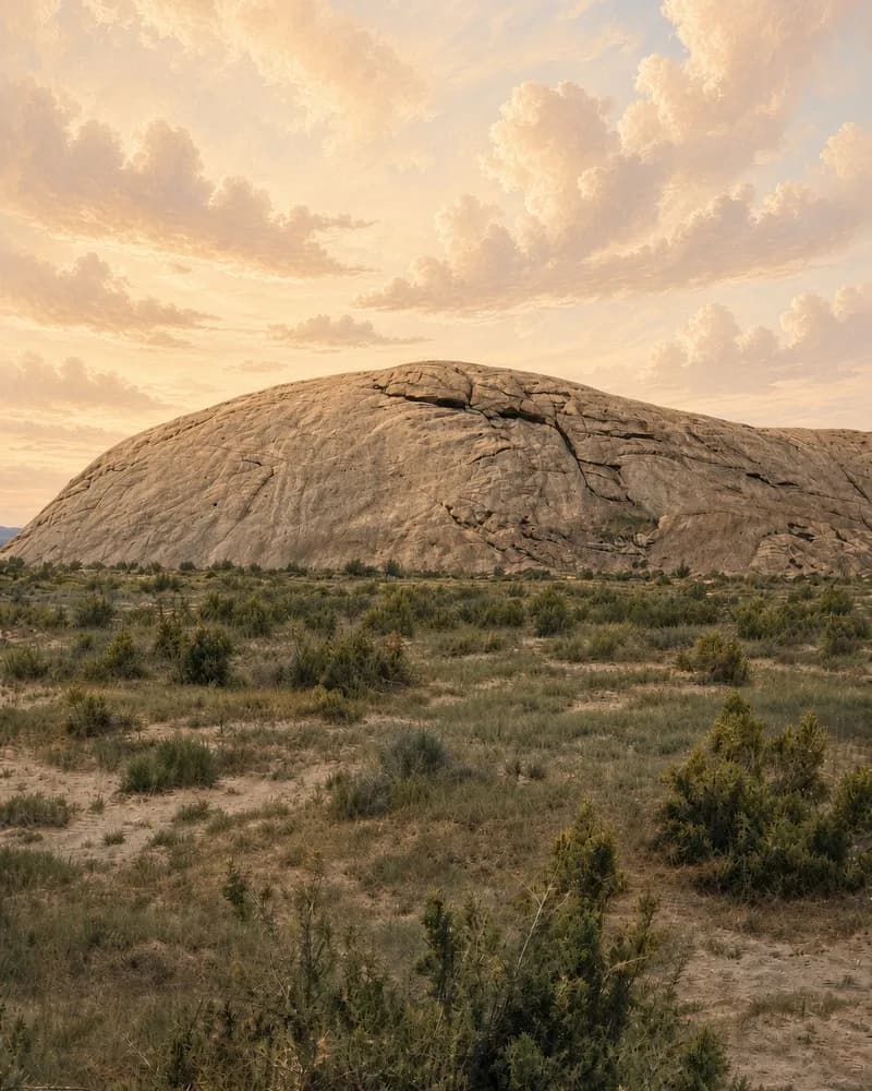 Mile 838 · WyomingRead full entryGoal date: Jul 4
Independence Rock
The Oregon Trail's calendar. Wagon trains hoped to reach this granite dome by the Fourth of July, and thousands carved or painted their names on it.
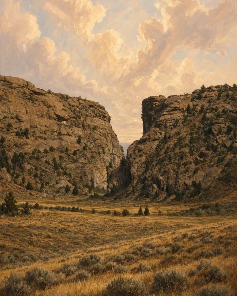 Mile 844 · WyomingRead full entryDepth: 370 ft
Devil's Gate
A narrow gorge on the Sweetwater about five miles past Independence Rock. Oregon Trail wagons could not pass through it, but many emigrants climbed up to look.
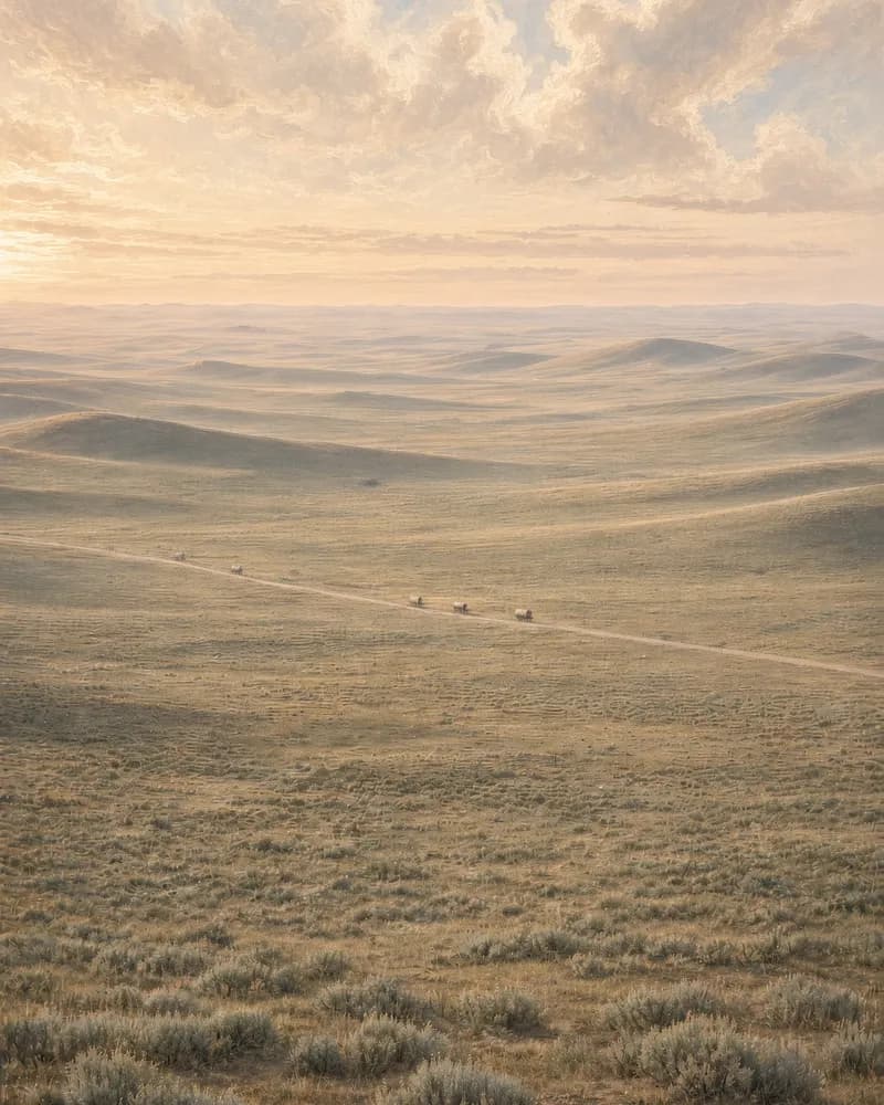 Mile 947 · WyomingRead full entryElevation: 7,412 ft
South Pass
The easy crossing of the Rocky Mountains that made the Oregon Trail possible. Hundreds of thousands of emigrants crossed this broad, gentle gap heading west.
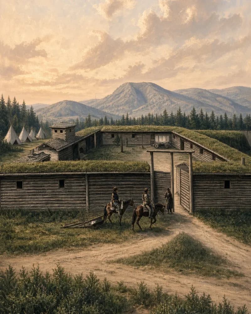 Mile 1,070 · WyomingRead full entryFounded by: Bridger & Vasquez
Fort Bridger
Jim Bridger's trading post on the Oregon Trail. Here Oregon and California wagons turned northwest, and from 1847 Mormon wagons headed for the Salt Lake Valley.
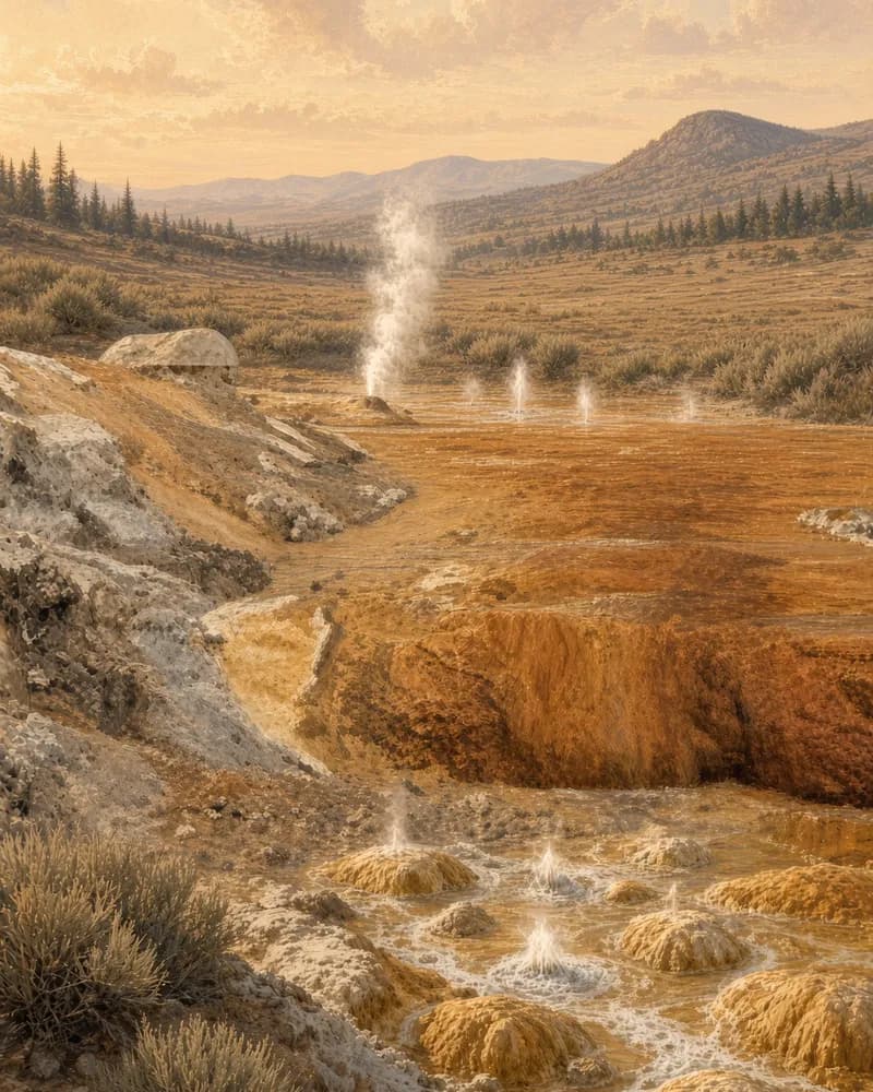 Mile 1,213 · IdahoRead full entryWater: Carbonated
Soda Springs
The Oregon Trail's fizzy-water stop on the Bear River, and from 1849 the place where many California-bound wagons turned off onto Hudspeth's Cutoff.
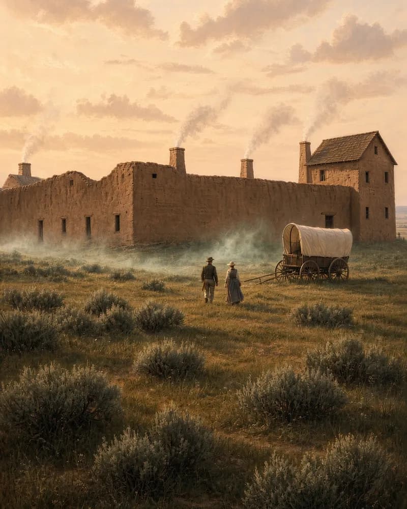 Mile 1,288 · IdahoRead full entryFounded: 1834
Fort Hall
A key Oregon Trail supply stop on the Snake River, run by the Hudson's Bay Company. Beyond it the roads to Oregon and California went their separate ways.
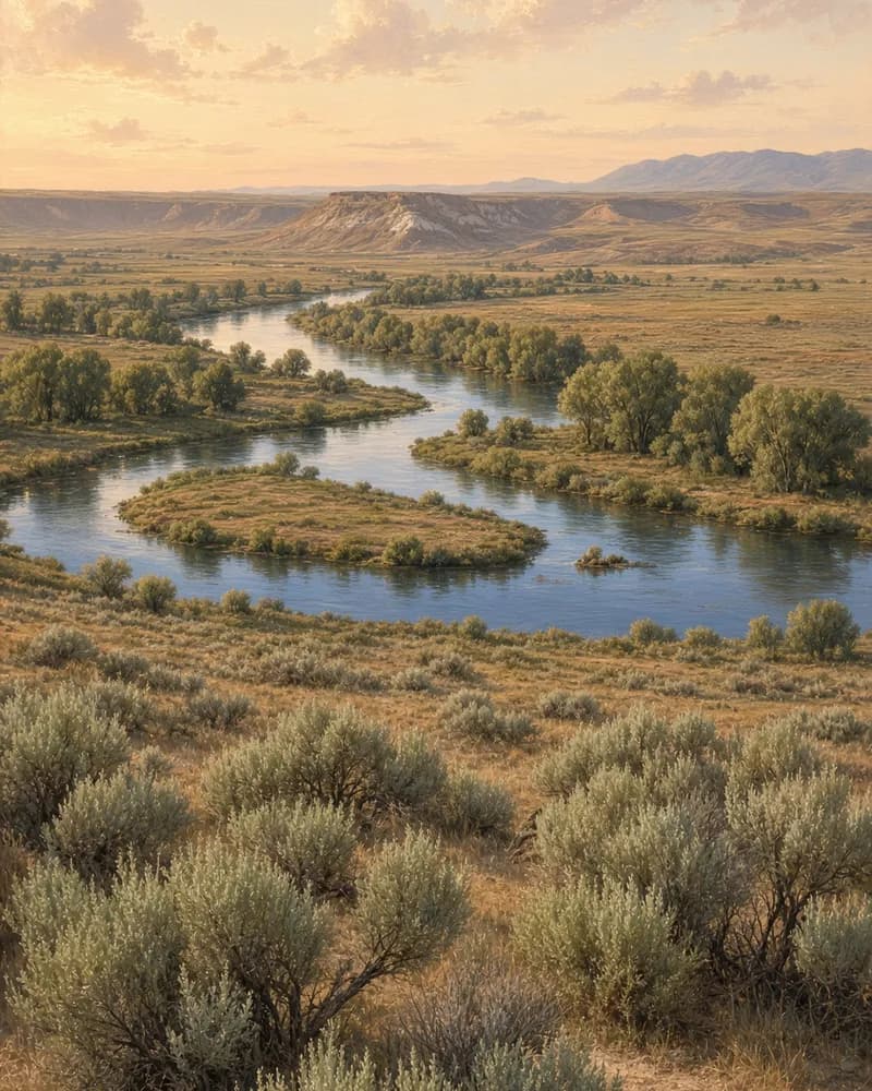 Mile 1,288 · Idaho and OregonRead full entryMiles on trail: About 300
Snake River
The Snake River guided Oregon Trail wagons for about 300 miles in Idaho and Oregon. Its deep canyon kept water out of reach. For many it was the hardest leg.
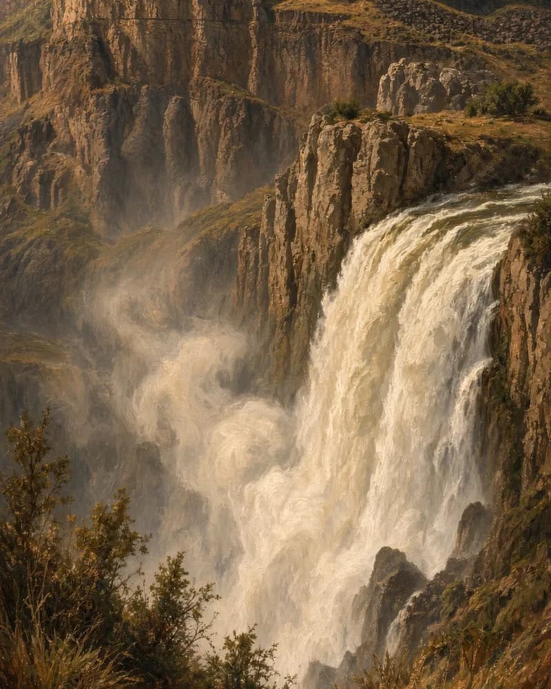 Mile 1,385 · IdahoRead full entryHeight: 212 ft
Shoshone Falls
Shoshone Falls drops 212 feet on the Snake River in Idaho. It lay several miles off the Oregon Trail, and some emigrants made the side trip to see it.
 Mile 1,410 · IdahoRead full entryOn river: Snake
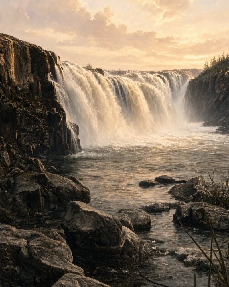
Salmon Falls
Salmon Falls on the Snake River in Idaho was a Shoshone fishing place where Oregon Trail emigrants traded bullets, powder and clothing for dried salmon.
 Mile 1,530 · IdahoRead full entryBuilt: 1834
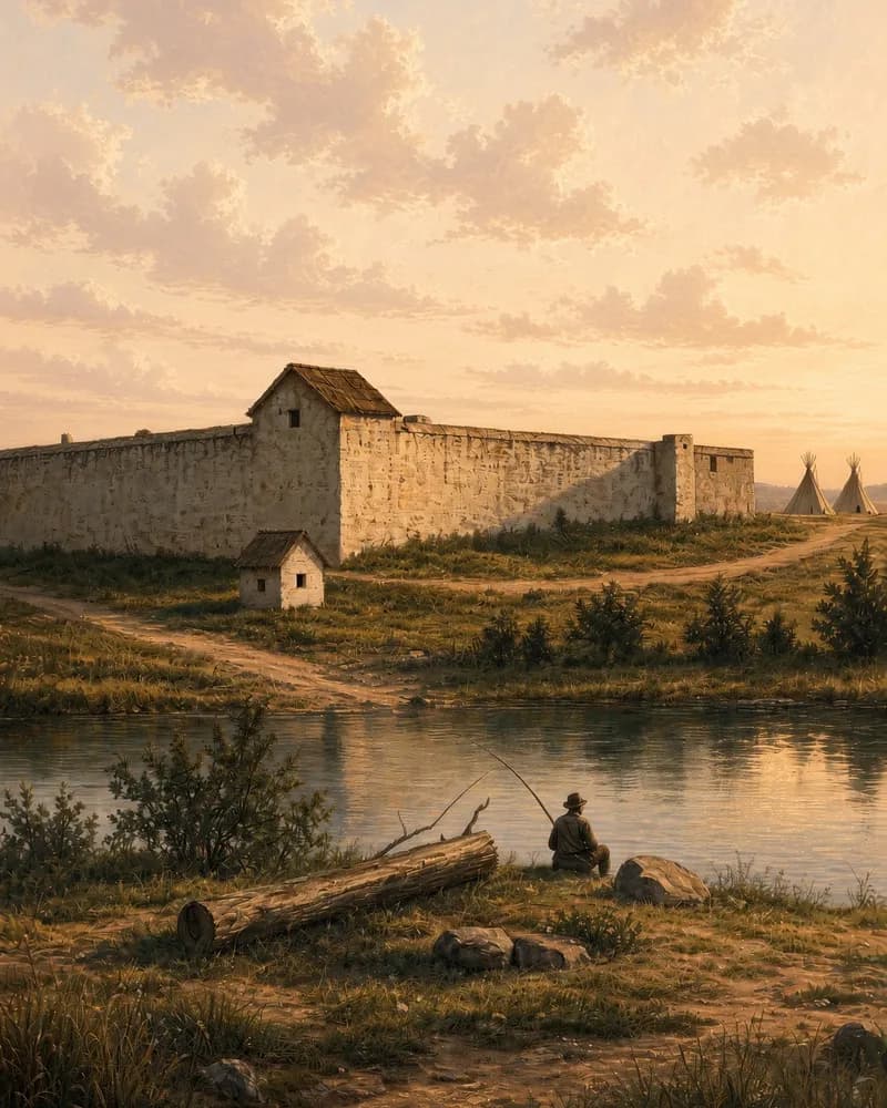
Fort Boise
The Hudson's Bay Company's Snake River post, known for its hospitality. Oregon Trail wagons forded the river here before the last hard miles to the Columbia.
 Mile 1,815 · WashingtonRead full entryOn river: Columbia
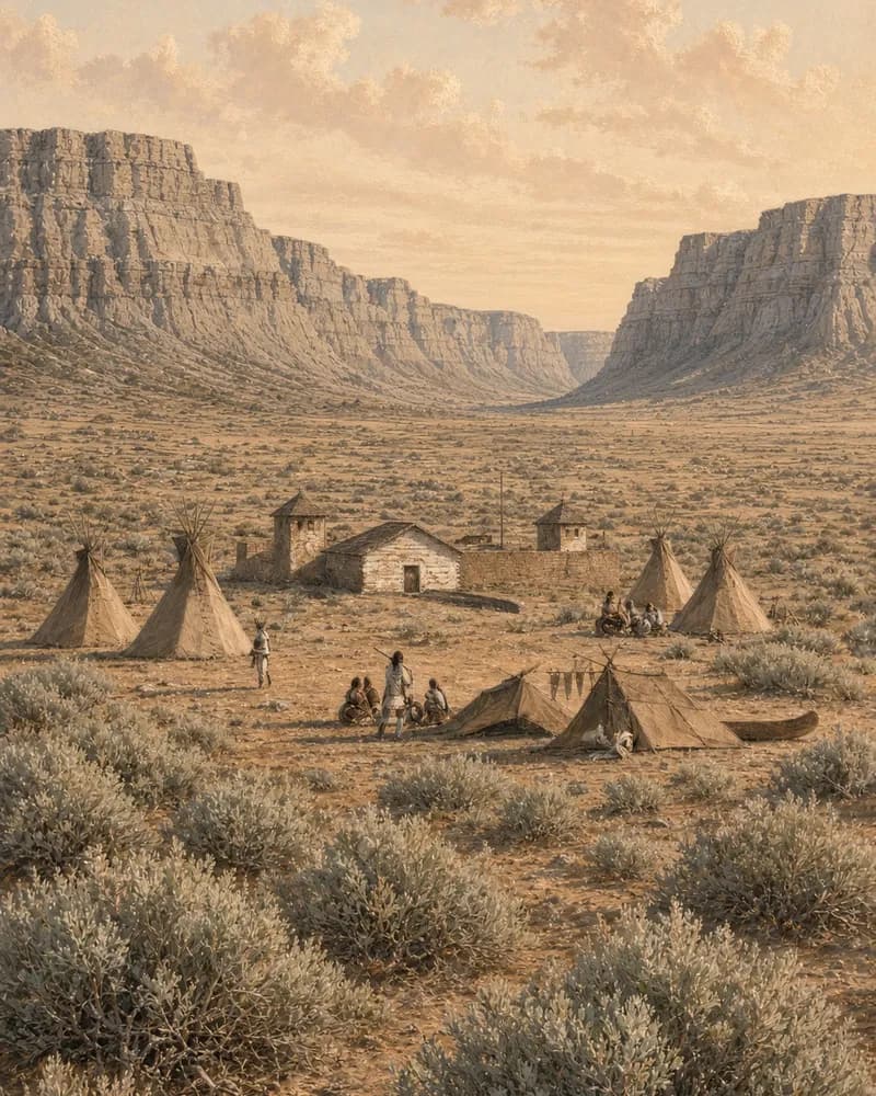
Fort Walla Walla
The fur-trade fort where the early Oregon Trail first reached the Columbia River. Some emigrants took boats downriver here, while others drove on to The Dalles.
 Mile 1,980 · OregonRead full entryUntil 1846: Raft Columbia
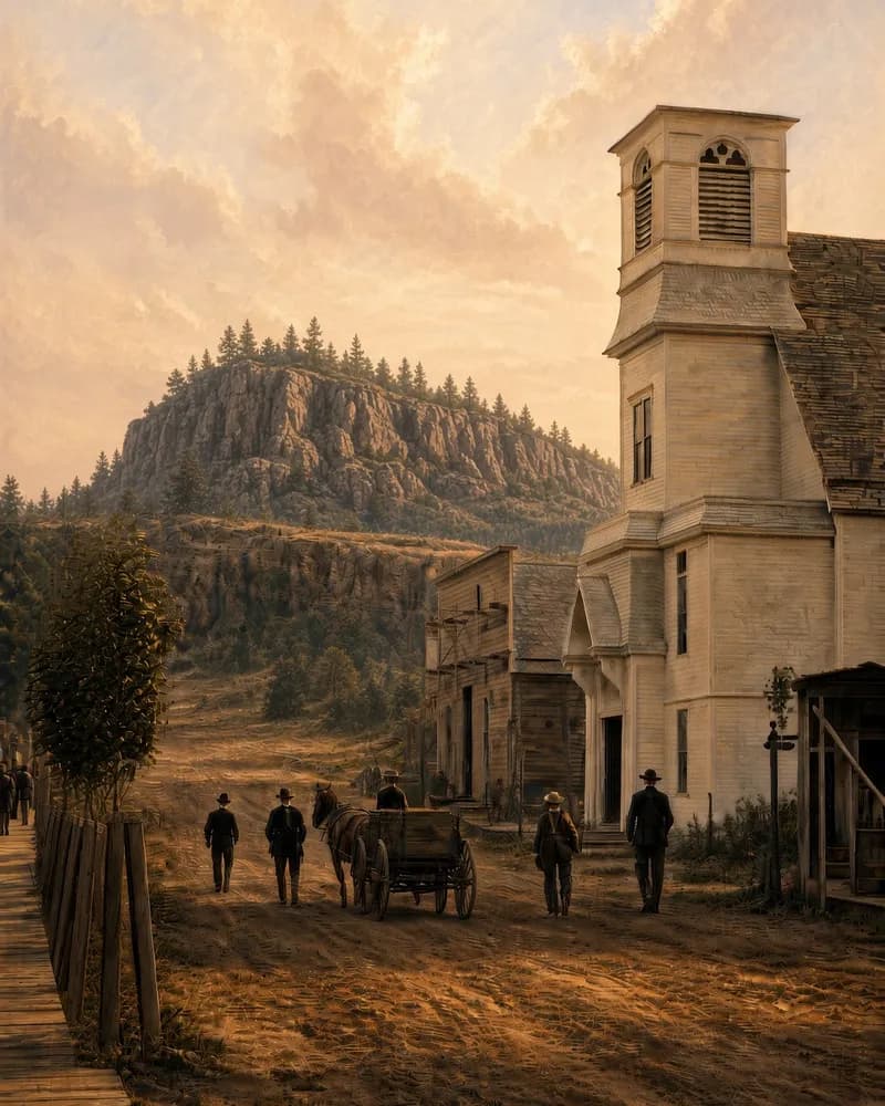
The Dalles
The end of the Oregon Trail's wagon road until 1846. Here emigrants faced the Columbia River rapids, until the Barlow Road offered a way around Mount Hood.
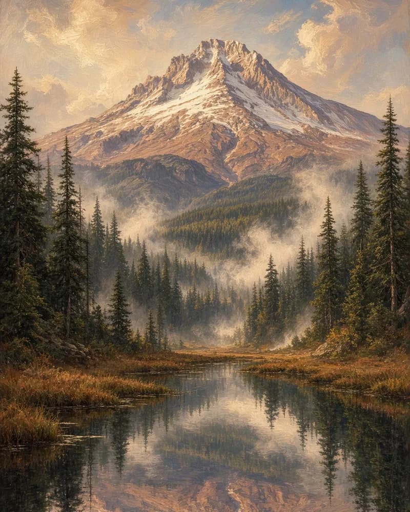 Mile 2,060 · OregonRead full entrySummit: 11,240 ft
Mount Hood
Oregon's highest peak, a snowy volcano that Oregon Trail emigrants could see from 150 miles away. From 1846 the Barlow Road took wagons around its south side.
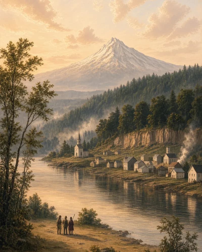 Mile 2,170 · OregonRead full entryIncorporated: 1844
Oregon City, OR
The end of the Oregon Trail. Emigrants who reached Oregon City rested, restocked and recorded land claims before starting farms in the Willamette Valley.
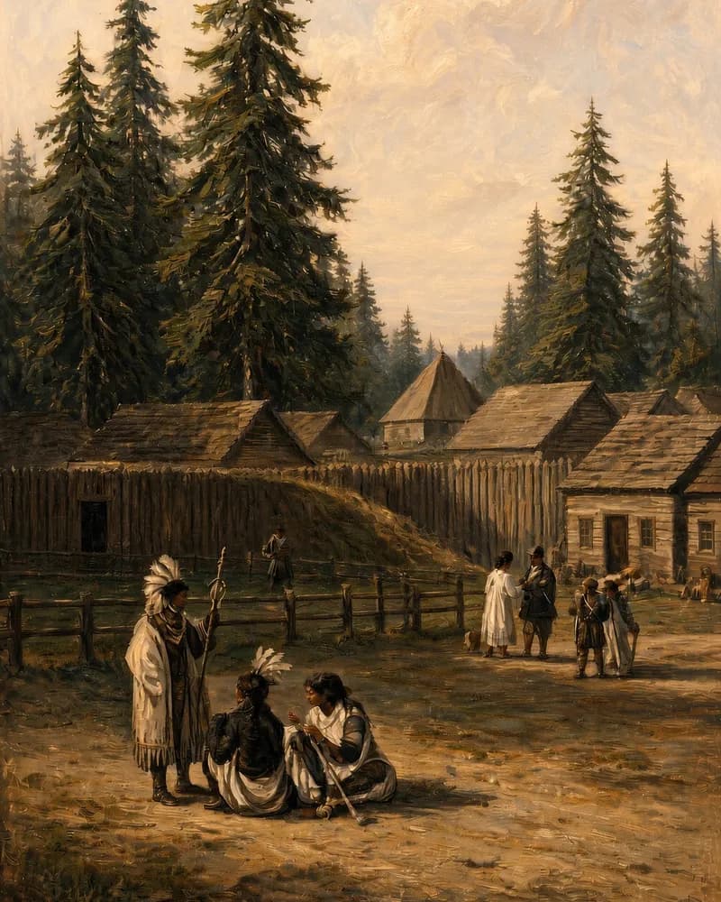 Off the wagon road · WashingtonRead full entryHBC headquarters: 1825-1849
Fort Vancouver
The Hudson's Bay Company's western headquarters. Its chief factor, John McLoughlin, sold food, seed and tools on credit to many worn-out Oregon Trail families.
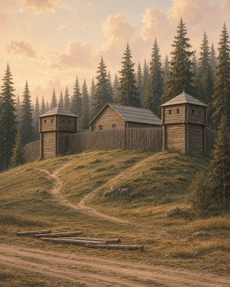 Off the wagon road · OregonRead full entryFounded: 1811
Fort Astoria
John Jacob Astor's 1811 fur post near the mouth of the Columbia. Men sent east from it found South Pass, the gap the Oregon Trail used to cross the Rockies.